
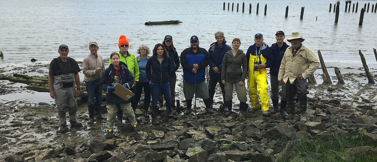
The goal of the Shipwreck Survey Project is to provide a better understanding of the maritime heritage along the Oregon and Washington Coasts and in the Puget Sound by examining and recording wrecks and abandoned vessels. MAS constructs condensed site reports for the public (link to: Reports). The information is also be used to write books, newspaper and magazine articles, and journal articles.
The scale of such a task requires an incremental approach. Phase I began in 2017 and involves documenting shipwrecks and abandoned vessels on shore, as well as examining underwater sites recorded by other organizations. As Phase I continues, MAS is in the process of acquiring funds to begin direct underwater search and survey. In Phase II, a detailed remote sensing survey, employing a magnetometer and side-scan sonar, will be the first step in our underwater archaeological investigations. Divers or Remote Operating Vehicles will investigate the remote sensing targets.
Oregon Survey Sites
T.J. Potter
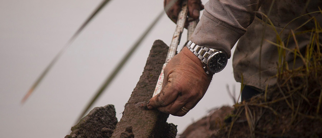
MAS volunteers conducted a survey in June 2016 and a detailed site report was submitted to Oregon’s State Historic Preservation Office (SHPO) in December 2016.
T.J. Potter was a luxurious passenger steamboat that courted passengers between Portland and Astoria beginning in 1888, and was refurbished multiple times to compete with other passenger boats near Puget Sound.
Silvia de Grasse
Here’s a quick video with the highlights of our first ROV field test in the Columbia River on 07/15/2016. Silvia de Grasse was a lumber schooner that sank in Astoria in 1849.
Learn more about Silvia de Grasse
Lewis and Clark National Historic Park Boat Survey
In partnership with the Park, volunteers from MAS helped survey the remains of a small boat in Lewis and Clark National Historical Park. The findings most closely resembled a gillnet fishing boat built during the 1920s and 1930s.
Read about the Lewis and Clark NHP boat
Peter Iredale
Sometimes it is fun to do site reconnaissance for a future survey. Check out this YouTube video from the Peter Iredale on 05/22/2016.
Washington Coastal Survey Sites
SS Iowa
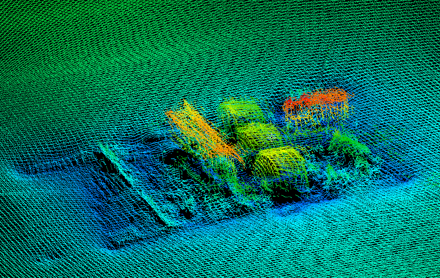
Multi-beam view of a portion of Iowa. Courtesy of NOAA
The U. S. Army Corps of Engineers identifies underwater anomalies using multi-beam sonar in the Columbia River and on the Columbia River Bar. The sonar images from the Peacock Spit were sent to MAS. Researchers identified the images as the midsection of the SS Iowa.
Learn more about the SS Iowa wreck site.
Research Design (Synopsis)
The state archaeological records contain various levels of information regarding shipwreck sites. MAS has developed a category scheme in which site data fall into one of four categories.
- Category I sites are those known to the organization (MAS), but no site report information exists in the online database.
- Category II sites are found in the online database and include a position (latitude/longitude), vessel name (if known), and the estimated year the ship was sunk (if known).
- Category III sites include the information from Category II reports, but also contain additional information such as photos or excerpts from reference material.
- Category IV sites are those that are fully documented within the limits of current technology, environment, and federal and state laws concerning site disturbance.
This project works to provide Category III or IV information for all shipwreck sites in the state archaeological site databases and all known sites not currently in the databases.